

- 2025-02-23 15:26 5894
- 产品价格:面议
- 发货地址:北京海淀 包装说明:不限
- 产品数量:9999.00 个产品规格:不限
- 信息编号:259572720公司编号:14832749
- 王经理 微信 18510103847
- 进入店铺 在线留言 QQ咨询 在线询价
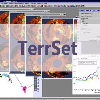
正规代理 TERRSET正版软件中文教程
- 相关产品:
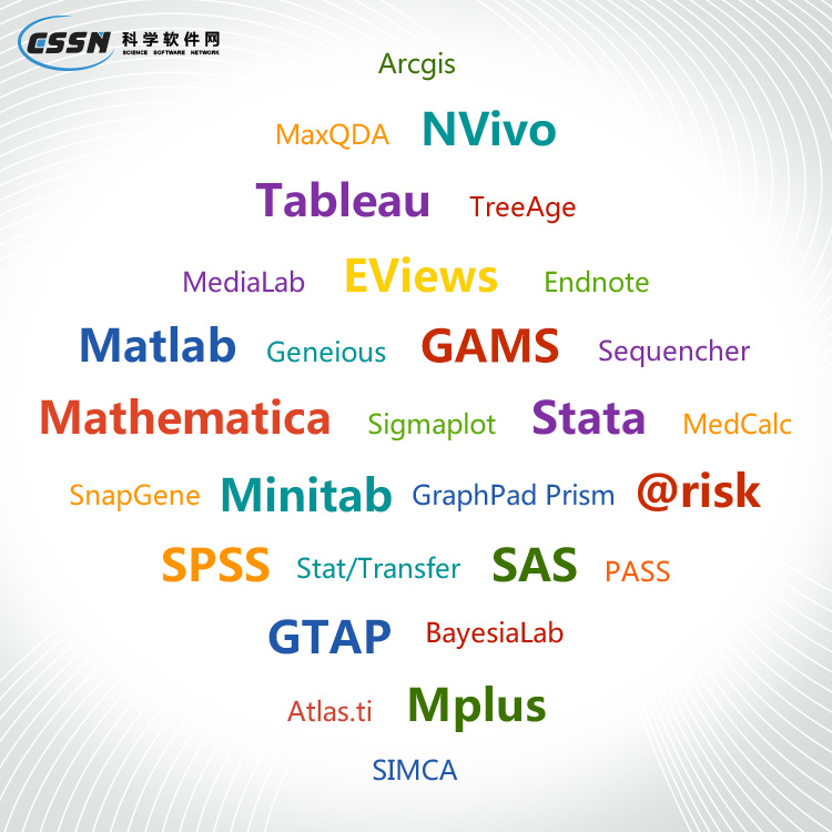
科学软件网销售软件达19年,有丰富的销售经验以及客户资源,提供的产品涵盖各个学科,包括经管,仿真,地球地理,生物化学,工程科学,排版及网络管理等。此外,我们还提供很多附加服务,如:现场培训、课程、解决方案、咨询服务等。
•IDRISI图像处理
TerrSet 的IDRISI图像处理系统是一套广泛的遥感图像恢复、增强、变换和分类的系统。
IDRISI Image Processing
The IDRISI Image Processing System in TerrSet is an extensive set of procedures for image restoration, enhancement, transformation and classification of remotely sensed imagery.
DECISIONFOREST – an implementation of the random forest algorithm for classification. In addition to the hard classification, probabilistic soft classification images can also be output. DECISIONFOREST models can also be saved and used to classify novel imagery. Thus models can be trained in one location, or time, and then applied in a different location or time so long as the same variables (bands) are used.
CONSENSUS – a module that outputs the most common class assignment from a group of classifications. This is useful for the creation of ensemble classifications.
TerrSet软件功能
•IDRISI GIS分析
IDRISI GIS工具集提供了300多种分析工具,主要面向光栅数据,用于操作地理空间数据集,以探索我们快速变化的世界。
19年来,公司始终秉承、专注、专心的发展理念,厚积薄发,积累了大量的人才、技术以及行业经验,在行业内得到了大量用户的认可和高度价。


